“There is a mountain in the north, ensouled by Divinity, named Himalaya, the King of all mountains. Stretching from east to west coasts, it is located on earth as a measuring rod.”
The Himalayas
Table of Contents
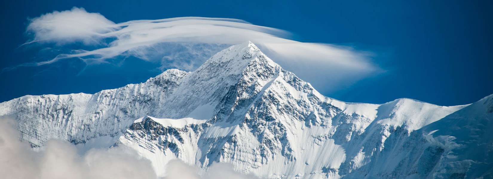
The Himalaya meaning ‘The Abode of the Snow’ in Sanskrit, is the youngest and highest mountain system in the world. The Himalayas are twice as long as the Alps in Europe and, Sagarmatha (Chomolungma) or Mount Everest (8,850 m) is nearly twice as high as the Matterhorn. The Himalayas have the world’s highest snowline and more than 17,000 glaciers.
The chain extends for 2,400 odd kilometers (1,500 mi) covering an area of about 594,400 sq. km (229,500 sq. mi), joining to the west and the northwest with the mountain chains of the Karakoram, the Pamir, and the Hindu Kush, which are geologically distinct but are also joined to the principal chain. They spread like a vast south-facing arc from the River Indus in northern Pakistan/India eastwards to the Brahmaputra River, across Kashmir in northern India, part of southern Tibet, most of Nepal, the Indian state of Sikkim, and Bhutan with Nanga Parbat (8,125 m) and Namche Barwa (7,755 m) as its terminal high points. The massive range is drained by several major Asian rivers, including the Indus, Sutlej, Ganga, Koshi, Kali Gandaki, Brahmaputra as well as by many of their important tributaries.
In total, including the outlying chains, this system of mountains contains all 14 of the world’s mountain peaks that tower above 8 thousand meters, as well as 75 peaks that top 7 thousand meters and over fourteen hundred peaks are taller than six thousand meters. Many of these peaks, if we exclude the principal ones, have not yet been scaled, and some have not yet even been named, a number of valleys have not yet been explored, as incredible as that may seem on the 21st century.
Himalaya can be divided into four divisions transversely on the basis of their locations.
They include:
1. The Assam Himalaya
This part of the Himalaya extends from the Brahmaputra River in the east to the Tista River in the west. This segment has a length of 750 km.
2. Nepal Himalaya
The Nepal Himalaya elongates from the Tista River to the Mahakali River in the west.
3. Kumaon Himalaya
The belt of 350 km in length starts at the Mahakali River and ends at Sutlej in India.
4. Punjab Himalaya
Starting from Sutlej, this part ends at the point where the Indus River demarcates the Himalayan range from the Karakoram range in the west.
In view of the ecological distribution of bio-diversity, the Himalaya are demarcated by means of the Kali Gandaki River into two halves. Therefore, the segment from Indus River to the Kali Gandaki River is called the Western Himalaya and from Kali Gandaki to Brahmaputra River is termed the Eastern Himalaya.
Geology
During the Palaeozoic and Mesozoic eras (65 million to 570 million years ago) the area that is now the Himalaya occupied the floor of the ancient Tethys Sea on the northern part of the Indian Plate of the Earth’s crust. The mountains were formed by the action of plate tectonics as the Indian Plate, moving north, slowly began to press against the stationary Asian landmass. As a result, the already shallow seabed rapidly folded and was raised into longitudinal ridges and valleys. The principal uplift occurred during the middle or late Tertiary period (12 million to 65 million years ago).
Although the phase of a major upheaval of the Himalayas has passed, the Himalayas are still rising, albeit at a much slower rate. The Indian plate is continuously moving north at the rate of about 2 cms every year. Because of this reason the Himalayas are rising at the rate of about 5 millimeters per year. This means that the Himalayas are still geologically active and structurally unstable. For this reason, earthquakes are a frequent occurrence in the entire Himalayan region.
The prominent rocks of the Himalaya originate in the sediments of the ancient Tethys Sea and the crystalline structures of the central upthrust zone where tremendous heat and pressure metamorphosed the rock layers. Therefore, it consists primarily of metamorphic rocks; extensive areas of igneous rocks are in the south. Paleozoic and Mesozoic marine sediments are found in several regions. The fossil records that are still abundantly prevalent in the upper part of the Kali Gandaki Valley, are said to be of the creatures which were living in the Tethys sea and killed during the holocaust of the Mesozoic era.
Topography
The Himalayas can be divided into four parallel, longitudinal mountain belts of varying widths. These zones result from the tectonic processes of uplift, are distinguished by contrasting rock layers and mineral content, and are separated by faults and thrust boundaries, including the Main Central Thrust separating the trans-Himalaya and Tibetan zone from the High Himalaya, and the Main Boundary Fault separating the Lower Himalaya and the outer Siwalik zones. A regional structure of tectonic zones from north to south are:
- The Indus Suture Line, the Tibetan or Tethys (Trans)-Himalaya- consists of complex Tibetan ranges and plateau
- The Great or High Himalaya- forming the backbone of the Himalayan system, contains the main ranges and highest peaks and rises above the snow line to an average elevation of about 6,100 m (20,000 ft)
- The Lower Himalaya or the Lower Himalaya- mountains rise to 4,572 m (15,000 ft) and the valleys lie at elevations of about 915 m (3,000 ft).
- The Outer Himalaya or Siwalik Foothills- rises steeply from the northern Indian plains and descends gently to flat-floored basins
Nepal Himalaya
Nepal Himalaya in the central section covers fully a third or over 800 km of the Himalayan system forming the longest segment where most of the highest peaks of the world are concentrated. Nepal Himalaya has a total of 1,310 peaks exceeding 6,000 meters and of the 31 prominent Himalayan peaks exceeding 7,620 m (25,000 ft), 11 are in Nepal Himalaya including eight out of the world’s 14 Eight Thousanders.
Physiographic Regions
The Nepal Himalaya can be divided into five parallel and linear zones (natural zones) geographically:
1. High Himalaya & the Trans-Himalaya
The High Himalaya consists of the peaks which are usually covered with snow throughout the year and has Tundra climate. It includes inner valleys like Arun, Kali Gandaki, Hinku, etc. North of the main range lies the trans-Himalaya in the high desert region, much like the Tibetan plateau. The valleys include Manang, Dolpo, Nar-Phoo, etc. This whole zone covers 23% (33,819 sq km) of the total area of Nepal. The width of this zone lies between 10 to 90 km.
2. Mahabharat Range
Lying just below the High Himalayan zone, it has a moderate climate and hence the greenery. It occupies 19% (27,930 sq km) of the total area of the country. The breadth of the zone varies from 20-30 km.
3. Midlands or the Middle hills
Consisting primarily of river valleys, civilization in Nepal first started here, hence the highly developed cultures seen here. The average width is 40-60 km covering 29% (42,630 sq km) of the total area of Nepal.
4. Chure Hills or the Siwalik Range
This zone averages 900m in altitude covering 15% (22,580 sq km) of the total area. Width differs from place to place from 20 to 30 km.
5. Terai Plains
This is the most fertile zone, composed of alluvial soil with a tropical climate. It has an area of 20,580 sq km or 14% of the total area, extending in a width of 20-50 km.